Indian Geography Question Answer Set-2
||Indian Geography Question Answer Set-2||Indian Geography MCQ Set-2||
11. Which of the following mountain ranges in India are the oldest?
(A) Himalayas
(B) Vindhyas
(C) Aravalli
(D) Sahyadri
Explanation:-The Aravali Range (Aravali) literally meaning ‘line of peaks’, is a range of mountains in western India and eastern Pakistan running approximately 800 km from northwest to southwest across Indian states of Rajasthan, Haryana, and Gujarat and Pakistani provinces of Punjab and Sindh. The Aravali range are the oldest fold mountains in India. The Aravali Range is the eroded stub of a range of ancient folded mountains. The range rose in a Precambrian event called the Aravali-Delhi orogeny. The range joins two of the ancient segments that make up the Indian craton, the Marwar segment to the northwest of the range, and the Bundelkhand segment to the southeast.
12. Which foreign country is closest to Andaman Islands ?
(A) Sri Lanka
(B) Myanmar
(C) Indonesia
(D) Pakistan
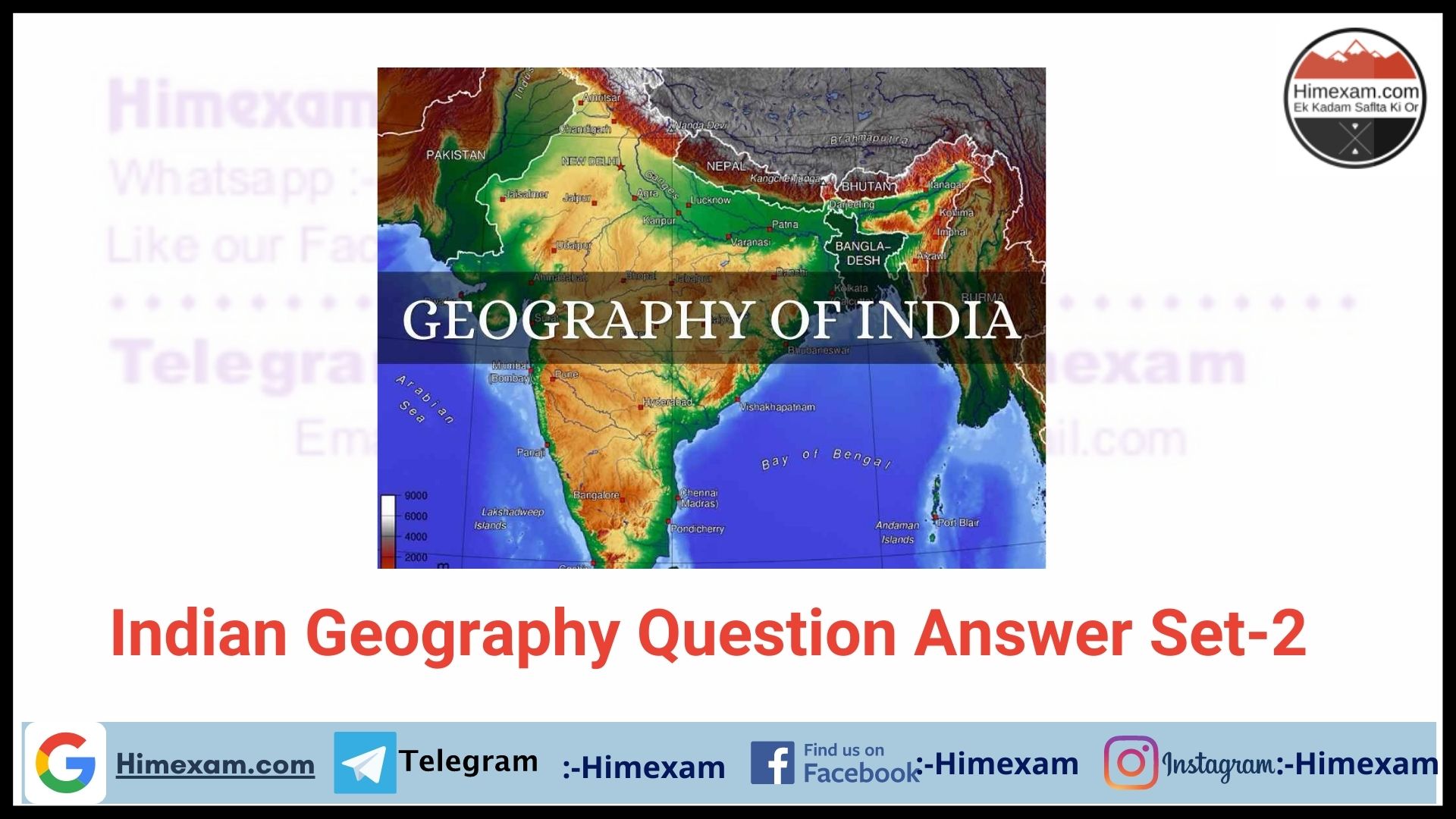
Explanation:-The Andaman Islands are a group of Indian Ocean archipelagic islands in the Bay of Bengal, between the Indian peninsula to the west and Burma to the north and east. Most of the islands are part of the Andaman and Nicobar Islands Union Territory of India, while a small number in the north of the archipelago belong to Burma. The Andaman Archipelago is an oceanic continuation of the Burmese Arakan Yoma range in the North and of the Indonesian Archipelago in the South. It has 325 islands which cover an area of 6,408 km2 (2,474 sq mi), with the Andaman Sea to the east between the islands and the coast of Burma. The nearest landmass in the north is Myanmar.
13. 82.5 ° E longitude is geographically significant to India because
(A) it determines the Indian standard time
(B) it has a bearing on the tropical climate of India
(C) it divides India into eastern and western zones
(D) it enables determining local time in eastern India
Explanation:-Indian Standard Time (IST) is the time observed throughout India and Sri Lanka, with a time offset of UTC+05:30. India does not observe Daylight Saving Time (DST) or other seasonal adjustments. In military and aviation time IST is designated E* (“EchoStar”). Indian Standard Time is calculated on the basis of 82.5° E longitude, from a clock tower in Mirzapur (25.15°N 82.58°E) (near Allahabad in the state of Uttar Pradesh) which is nearly on the corresponding longitude reference line
14. Which of the following uplands is not a part of the Telangana Plateau ?
(A) Aravalli
(B) Western Ghat
(C) Eastern Ghat
(D) Satpura
Explanation:-Telangana plateau is a plateau in western Andhra Pradesh, comprising the northeastern part of the Deccan plateau. The Aravali Range literally meaning ‘line of peaks’, is a range of mountains in western India and eastern Pakistan running approximately 800 km from northwest to southwest across Indian states of Rajasthan, Haryana, and Gujarat and Pakistani provinces of Punjab and Sindh. The Aravali Range is the eroded stub of a range of ancient folded mountains. The range rose in a Precambrian event called the Aravali-Delhi orogen. The range joins two of the ancient segments that make up the Indian craton, the Marwar segment to the northwest of the range, and the Bundelkhand segment to the southeast.
15. Where are the Saltora Ranges located ?
(A) Ladakh
(B) Along the Vindhyas
(C) Part of the Karakoram Ranges
(D) Part of the Western Ghats
Explanation:-Siachen is a glacier 76-km in length with a width of 2 km to 8 km, between two ranges – Karakoram in the east and Saltora in the west. Starting from point NJ9842 in the South, the glacier runs in a north western direction flanking several towns in POK close to the Saltora range, and in a north eastern direction it extends up to the Karakoram pass, thus forming more or less a triangular shape.
16. Which one of the following is not a part along the western coast of India ?
(A) Nhava Sheva
(B) Marmagao
(C) Tuticorin
(D) Kochi
Explanation:-Thoothukudi, also known as Tuticorin, is a port city and a Municipal Corporation in Thoothukudi district of the Indian state of Tamil Nadu. Thoothukudi is the headquarters of Thoothukudi District. Thoothukudi is also known as “Pearl City”. Thoothukudi is in South India, on the Gulf of Mannar, about 590 kilometres southwest of Chennai.
17. Which of the following processes is responsible for producing the sand dunes in western Rajasthan ?
(A) Wind erosion
(B) Erosion by water
(C) Wind deposition
(D) Mechanical weathering
Explanation:-In physical geography, a dune is a hill of sand built either by wind or water flow. Dunes occur in different forms and sizes, formed by interaction with the flow of air or water. Most kinds of dunes are longer on the windward side where the sand is pushed up the dune and have a shorter “slip face” in the lee of the wind. The origin of sand dunes is very complex, but there are three essential prerequisites: (1) An abundant supply of loose sand in a region generally devoid of vegetation (such as an ancient lake bed or river delta); (2) a wind energy source sufficient to move the sand grains; and (3) a topography whereby the sand particles lose their momentum and settle out.
18. Which part of the Himalayas has the maximum stretch from east to West ?
(A) Kumaun Himalayas
(B) Assam Himalayas
(C) Punjab Himalayas
(D) Nepal Himalayas
Explanation:-Nepal Himalayas has the maximum stretch from east to west. Along the north of Nepal runs the Great Himalayan Range, the highest mountain range in the Himalayan system. This range has an average altitude of about 4,570 m (about 15,000 ft) and remains perpetually snow-covered. On this range rise some of the loftiest mountain peaks in the world — Mount Everest, Kanchenjunga, Lhotse, Makalu, Cho Oyu, Dhaulagiri, Manaslu, and Annapurna. Further south runs a complex system of intermediate ranges at an altitude of 8,000-14,000 ft. Prominent ranges in this mountain system include the Mahabharata and Churia ranges. High mountain ranges are interspersed with broad inhabited river valleys. The third and southernmost region is the Terai, a swampy terrain which is the northern extension of the Indian plains.
19. The standard time of a country differs from the GMT in multiples of—
(A) Two hours
(B) One hour
(C) Half hour
(D) Four minutes
Explanation:-zero (0) degree Longitude is the mean longitude and the time adjusted according to this longitudinal time. The earth rotates from West to East. So every 15 o we go easy wards, local time is advanced by 1 hour. If we go west wards, local time is retarded by 1 hour. Each country has set their local time multiple of half an hour (1/2 hour). India’s local standard time is (+5.5 h). Means 5.5 h ahead of G.M.T.
20. The standard time of India is
(A) 5.5 hours ahead of GMT
(B) 4.5 hours behind of GMT
(C) 4 hours ahead of GMT
(D) 5.5 hours behind of GMT
Explanation:-Indian Standard Time (IST) is the time observed throughout India and Sri Lanka, with a time offset of UTC+05:30. It is 5 hours 30 minutes ahead of Greenwich Mean Time. India does not operate Day light Saving Time.
||Indian Geography Question Answer Set-2||Indian Geography MCQ Set-2||
Join Our Telegram Group :- Himexam


